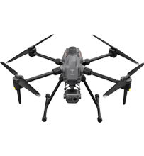
UAV
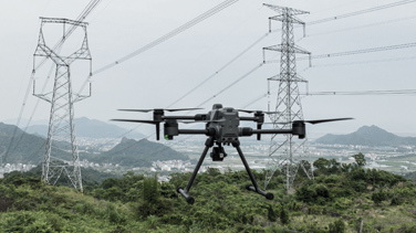
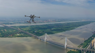
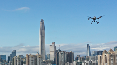
Multi-scenerio Applicable,Efficiently Helpful
Enterprise Products
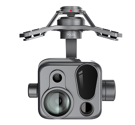
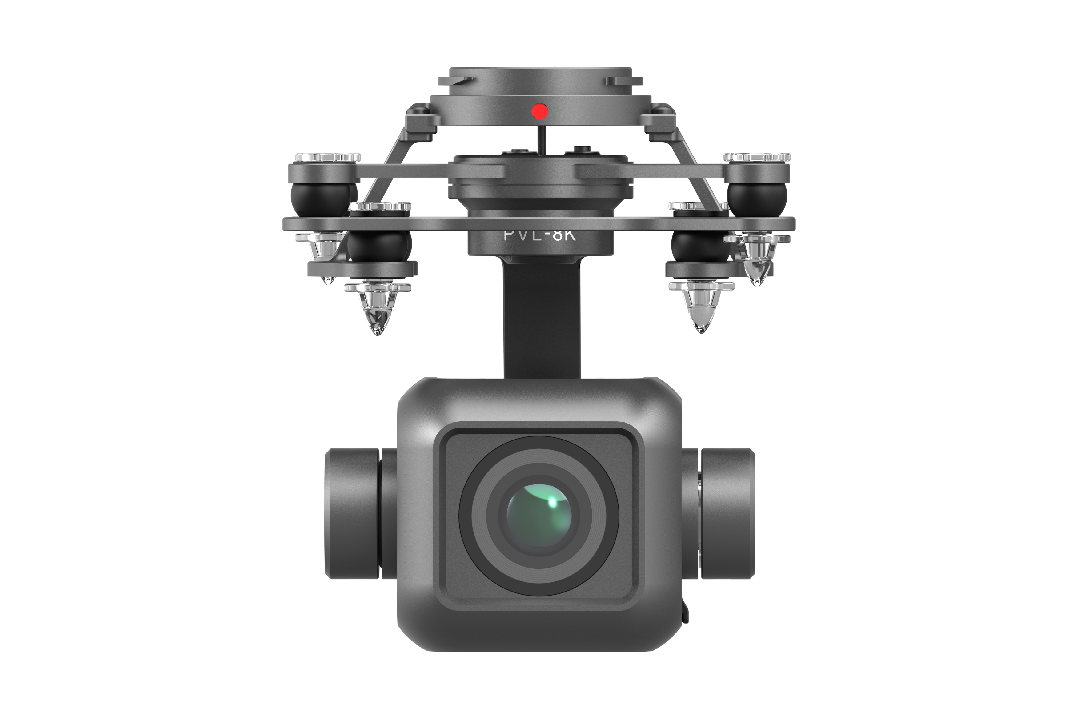 PVL-8K Camera
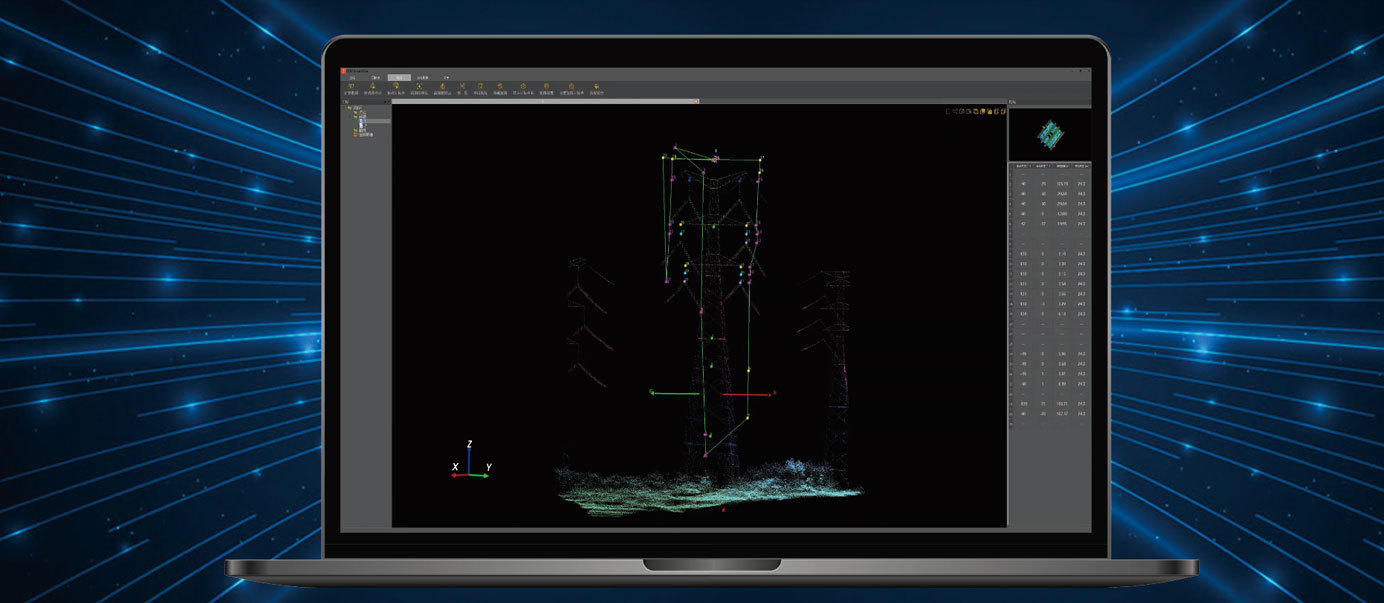
 UAV Software
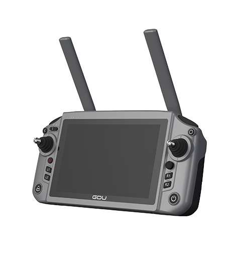 GDU RC SEE Smart Remote Controller

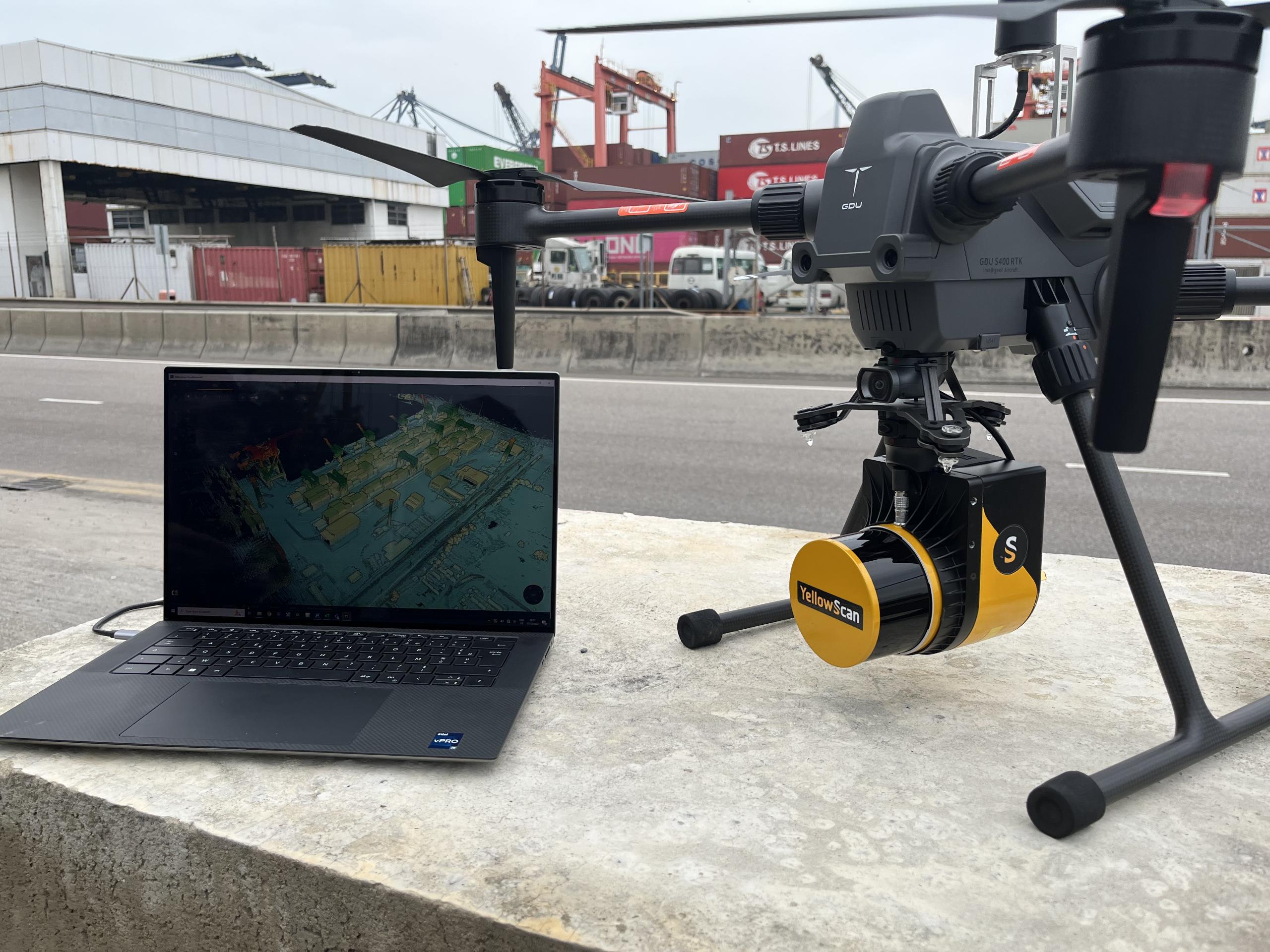
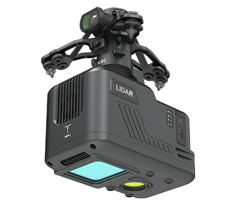
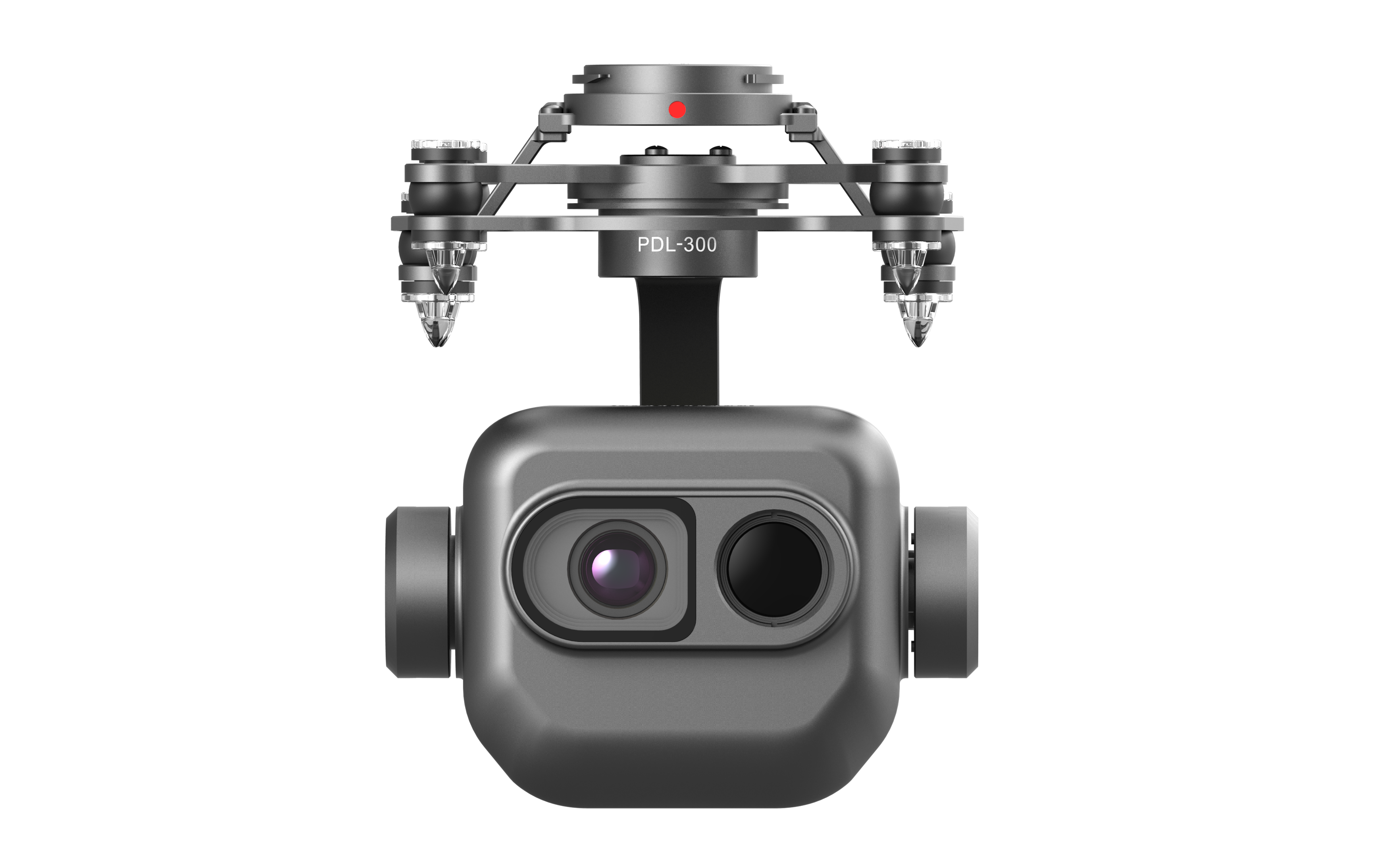
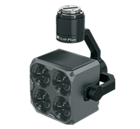
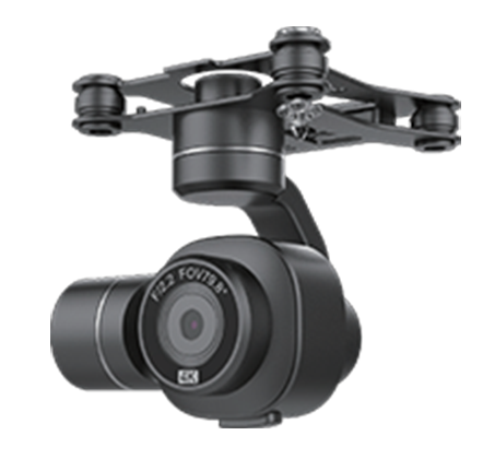
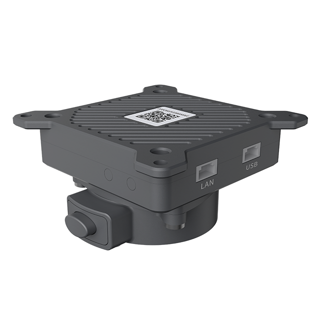
Payloads
New Era of HD
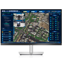
Software Service
Software&Hardware Integration Double the Efficiency
GDU RC SEE Smart Remote Controller
Efficient control in your hands