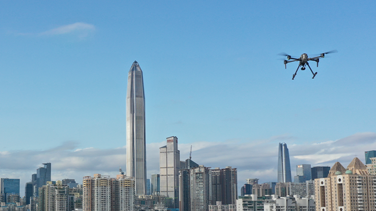
UAV
Multi-scenerio Applicable,Efficiently Helpful
Enterprise Products
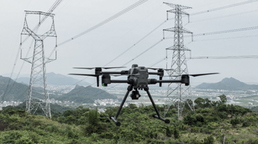
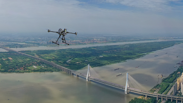
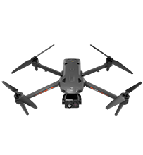
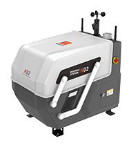 K02
K02
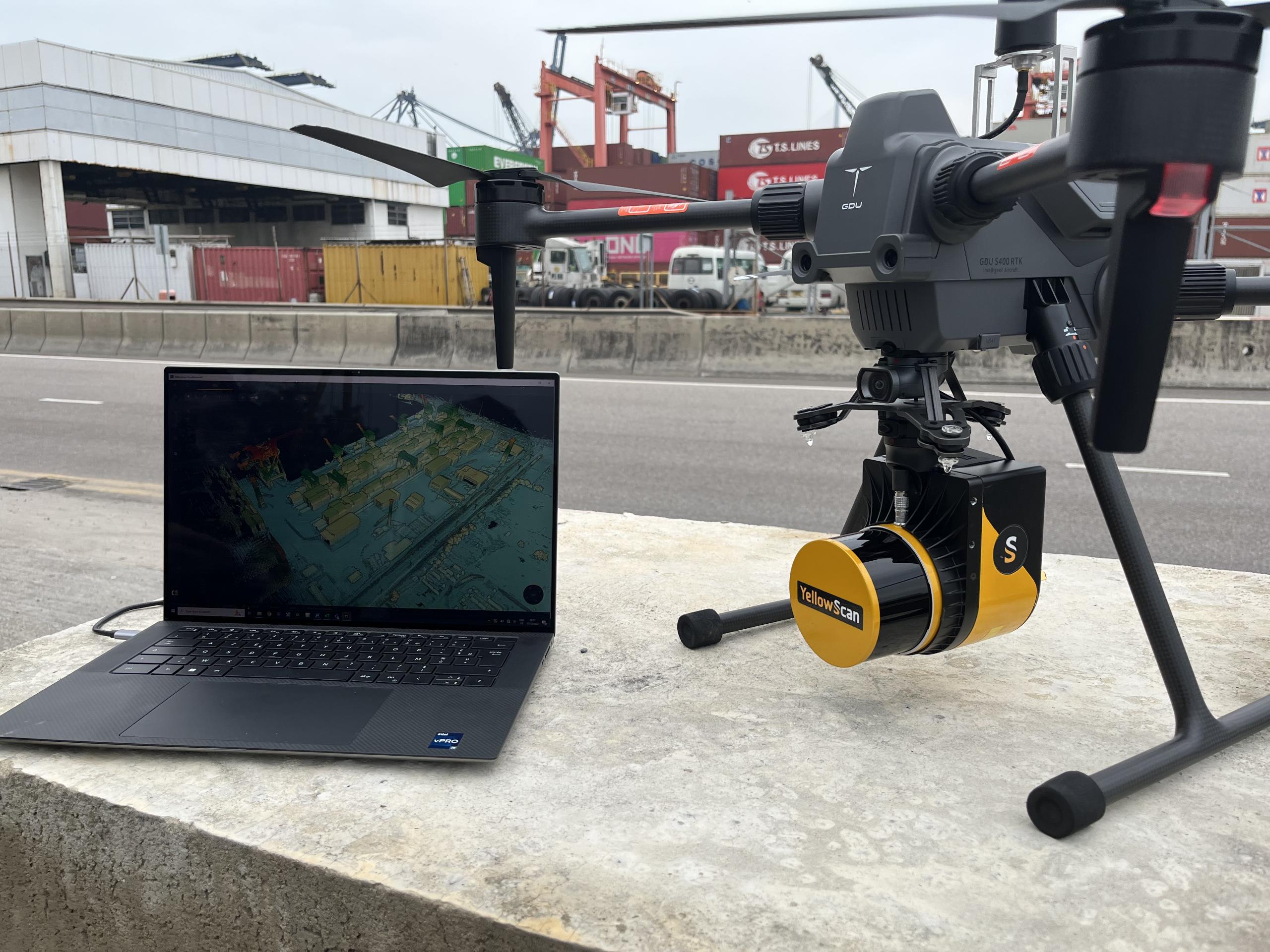
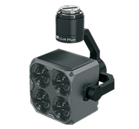
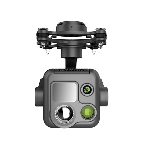 PQL02 Compact Quad-sensor Camera
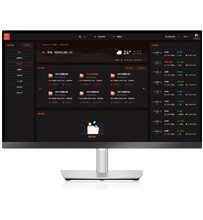
 Industrial Application Software
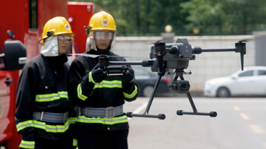
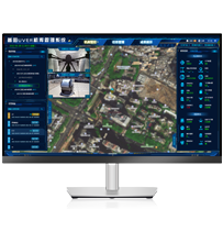
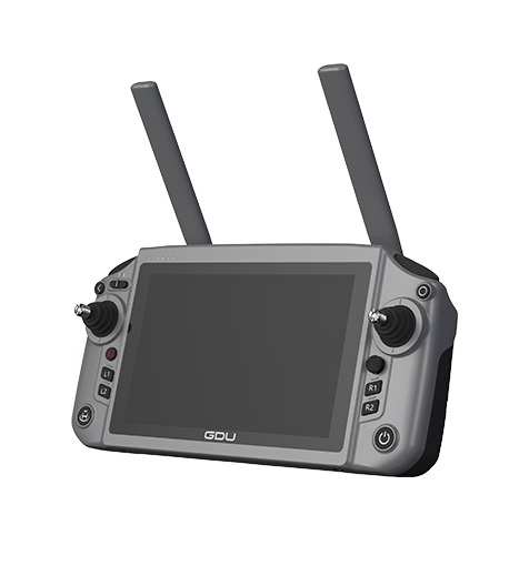 GDU RC SEE Smart Remote Controller
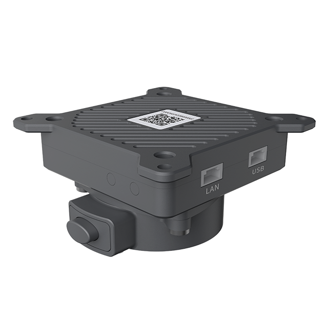
UAV Docking Station
Accelerating Aerial Infrastructure, Empower UAV Auto Mode

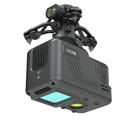
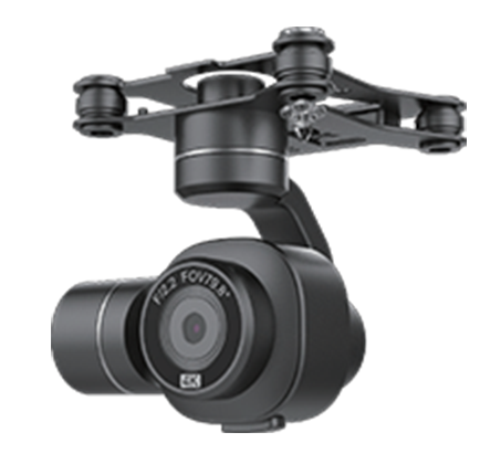
Payloads
New Era of HD
Software Service
Software&Hardware Integration Double the Efficiency
GDU RC SEE Smart Remote Controller
Efficient control in your hands